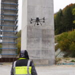
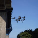
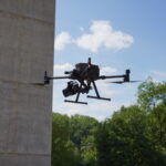
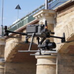
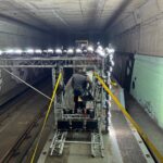
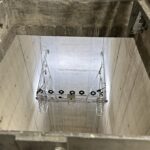
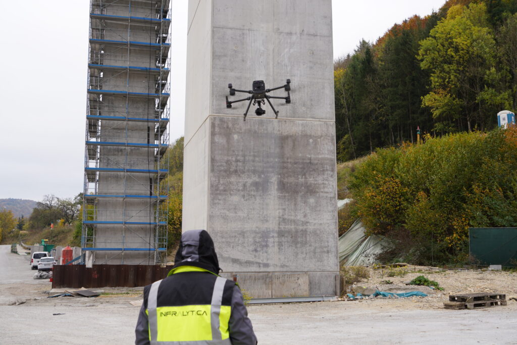
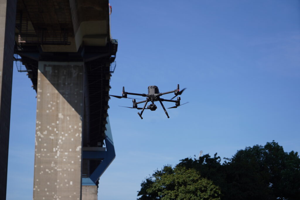
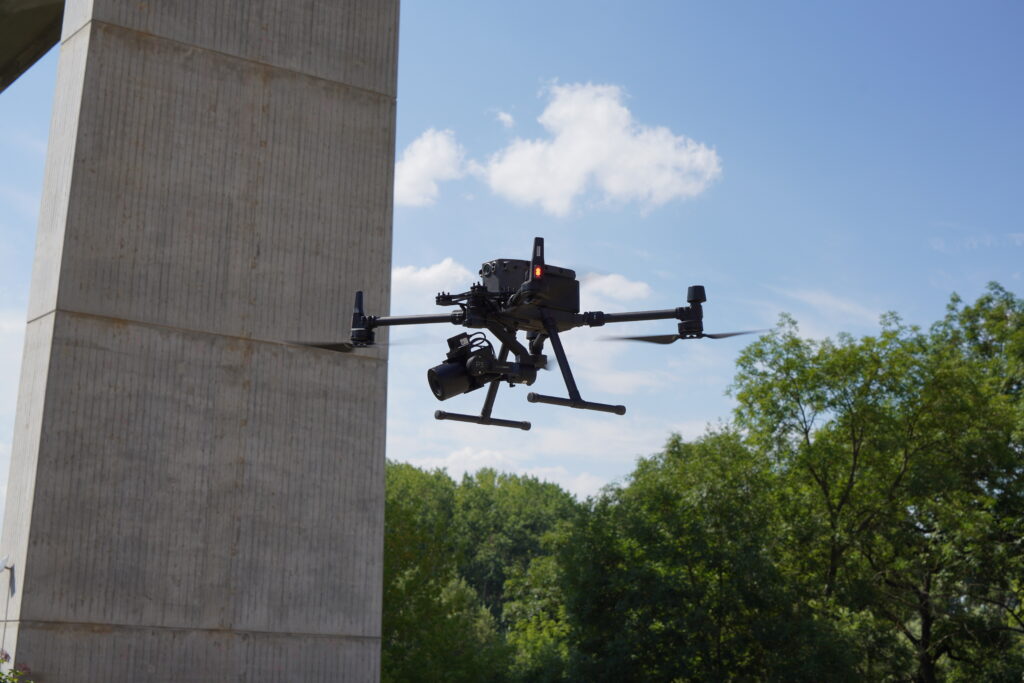
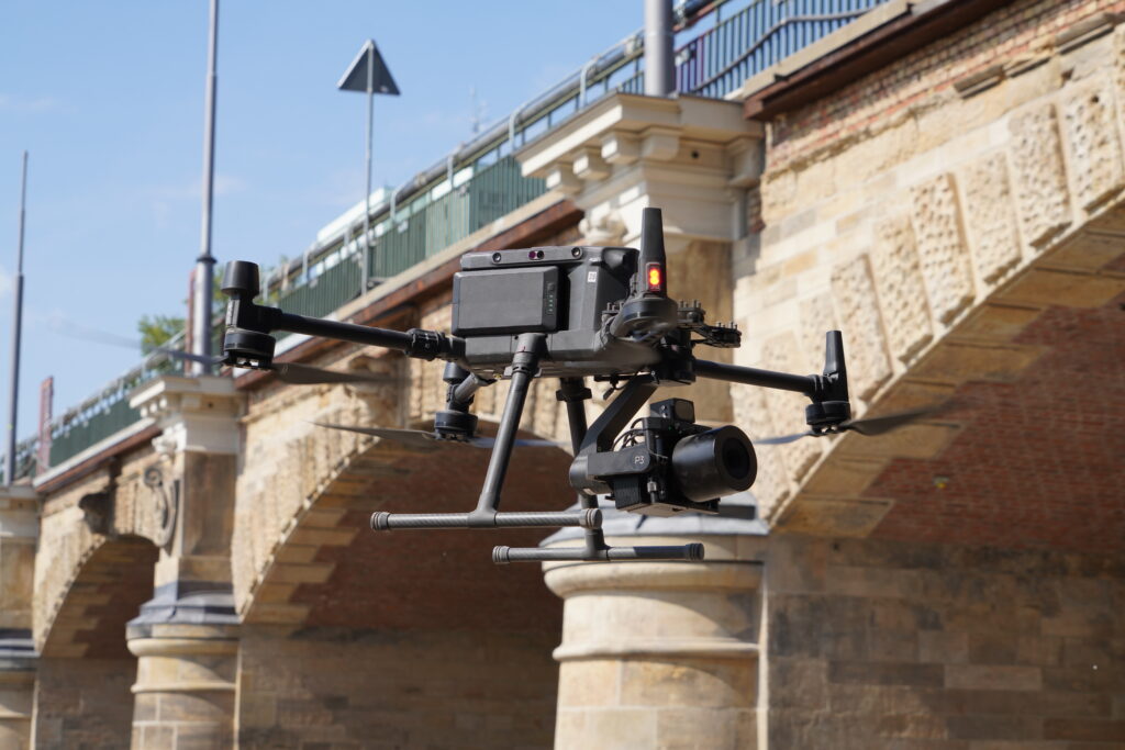
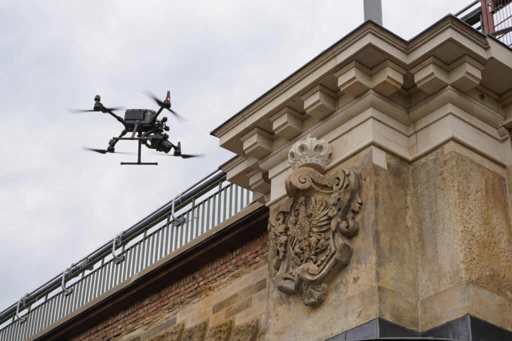
The service portfolio we offer and the software products we develop are based on some of the most disrupting digital technologies of our time. We employ camera-equipped drones (UAS) and photogrammetric 3D-reconstruction techniques for structural scanning, sometimes supplemented by laser scanning, to provide highly accurate georeferenced building models through point clouds, textured meshes, BIM and FEA models. We perform anomaly detection in image data based on feature recognition methods from Artificial Intelligence (AI) techniques such as deep neural networks. Data fusion and interpretation is performed with data obtained from sensor-based structural health monitoring (SHM) technologies for which we have developed Wireless Sensor Networks (WSN) using microcontrollers and smartphone devices.
Further, numerical simulation techniques such as Finite Element Analysis (FEA) to determine the nonlinear mechanical behaviour of structures are employed for static as well as dynamic problems in the context of structural analysis and safety assessment.
Data provenance and storage is facilitated by employing Building Information Modelling concepts. Most of the data processing and analysis is deployed on high-performance computing (HPC) hardware utilising multi-core CPU as well as GPU processing to suit the specifics of the software implementations. Solutions for visual analytics and remote virtual inspections are available for Virtual Reality environments such as Head Mounted Displays as well as Multi-user VR systems and on-site inspection support is developed using Augmented Reality concepts. Access to geometric and condition data is provided through a cloud platform.
The core components of our digital assessment framework are described in this White Paper (visit sciencedirect.com).

